Showing posts with label Front Range hikes. Show all posts

Sunday, July 27, 2014

Montgomery Pass & lots of butterflies (Rocky Mountain Parnassian & the Northern Blue Butterfly)

Views from the pass:
The Montgomery pass hike starts with a swampy muddy area (perhaps due to recent weather) then runs along a stream for a ways before heading up and up.
 The stream was a good place to get the mud off of their feet.
 The Indian Paintbrush were out in full force with almost every color available for your viewing pleasure.


Marsh Marigold:
 Cow Parsnip:
  Groundsel
 Tall Chiming Bells:


 Bitter Cress:
 The saucy one and the rest of us made it to the top.
 I don't think I've seen so many butterflies/moths in the tundra before.  Look at the variety!
Rocky Mountain Parnassian

Northern Blue Butterfly (Plebejus idas):

Yellow Stonecrop:


 After the hike we stopped in the stream by the side of the road across from the parking lot to clean our feet and just relax.


 Yellow Monkeyflower:
 These strawberries were growing right next to the side of the road!  I didn't know they could grow at 10,000 ft.  I couldn't figure out why some bird or animal hadn't eaten them.

Hike: Montgomery Pass
Trails Used: Montgomery Pass around Cameron Pass
Distance: 4.33 miles
Difficulty: Moderate
Overall average: 1.9 mph
Overall Time: 2 hr, 17 min
Total Ascent: 1152 ft.


Sunday, February 3, 2013

Arthur's Rock

Lory State Park was a fantastic place to get outside this weekend.  The hike up to Arthur's Rock was scenic and entertaining for all ages. I hope we keep having these 50 degree days.
 At the top of Arthur's Rock.
 This hike has tons of great rocks to climb.
 The girl with the yellow hat.
 One of the few 'good' pics I have of this kid when he's not smirking or covering his face.
 Really, I wasn't upset...it was a beautiful and enjoyable day.
 Nothing tastes better than a cold one after a long hike!
Hike: Arthur's Rock (Lory State Park)
Trails Used:  Arthur's Rock Trail to Howard Trail to Mill Creek Link
Distance: 5.17 miles
Difficulty: Easy to moderate
Overall average: 1.4 mph
Overall Time: 3 hrs, 35 mins
Total Ascent: 1685 ft.
 

Saturday, January 19, 2013

Rocking the Rock (Grey Rock, that is!)

 After a long uphill we still had to conquer 'The Rock.'  We still can't believe the kids did the whole hike and with minimal complaining!  It was long and steep.
 
The hike was through the an area of previous wildfire this summer.  Sad to see all that barren land!
The ladies in their fine hiking attire:
 

 View from the top:
 We made it!
Grey Rock
Trails Used: Main trail up and down
Distance: 6.31 Miles
Overall average: 1.0 mph
Moving Time: 6 hrs, 14 min
Total Ascent: 2484 ft.
Maximum elevation: 7533 ft.


Monday, November 26, 2012

A sighting of a baby moose, a beautiful day, and a great hike with the family!

I was excited to see this moose driving to our hike.  Luckily, we saw it leaving too because none of my pictures even resembled a moose until later in the day.  This is a better picture but not by much!

The hike was quite a ways uphill and we never actually made it to Lookout Mountain (that was never the plan with the two small kiddo's along). 
 
 We passes this mining area on the way up.
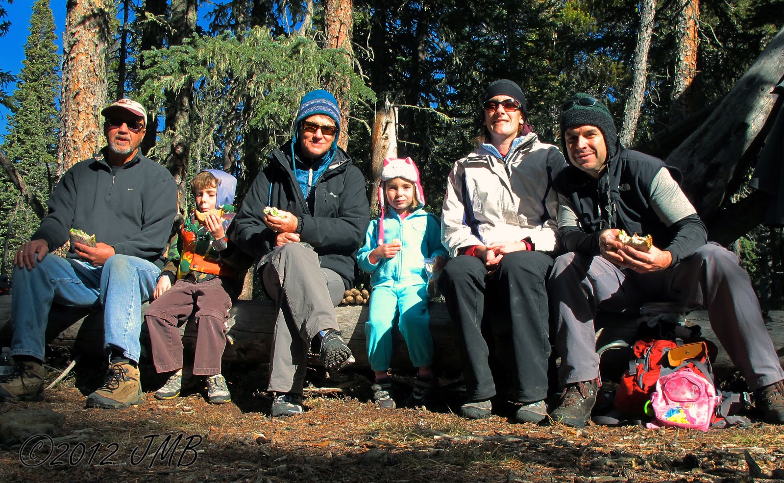
 We turned around at a split off for multiple trails and had lunch there.
 Overall, it was a great hike for the Thanksgiving day weekend with the family.

Hike: Lookout Mountain (Larimer County)
Trails Used: 
Distance: 5.6 miles
Difficulty: Moderate
Overall average: 1.3 mph
Overall Time: 4 hrs, 13 mins
Total Ascent: 2382 ft.